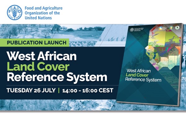
The Food and Agriculture Organization of the United Nations (FAO) in close collaboration with the Agrometeorology, Hydrology and Meteorology Regional Center (AGRHYMET), the Economic Community of West African States (ECOWAS) and the Observatoire du Sahara et du Sahel (OSS) is organizing the launch of the West African Land Cover Reference System (WALCRS) publication, on 26 July 2022, 14:00-16:00 CEST.
Click here to register >>
The West African Land Cover Reference System (WALCRS) is a first step towards a harmonized regional land cover reference system. The regional system has been supported by various projects and organizations such as “Global Transformation of Forest for People and Climate Focus Africa” funded by the Swedish International Development Cooperation Agency (Sida), SERVIR West-Africa and technical guidance from the Geospatial Unit at FAO.
The system aims at providing a regional land cover reference system in support to land monitoring at regional, national, and local levels. It is based on a strong and science-based approach for all partner organizations, to use a common framework, as recommended by the West Africa Regional Conference on Land Cover Land Use in 2013. Improving land cover information using the latest innovations becomes essential for Sustainable Development Goals (SDGs), restoration of ecosystems, fight against climate change, disaster risk reduction among many others.
The event will be held in English with live interpretation into French. We would be grateful if you could distribute this announcement widely across your networks.
Agenda
| 2:00 – 2:10 PM Welcome and opening Remarks Ms Bintia StephenTchicaya, Senior Policy Officer, Subregional FAO Representative, Food and Agriculture Organization of the United Nations (FAO) Mr. Ernest Aubee, Head of Agriculture Division, ECOWAS Commission 2:10 – 2: 20 PM 2:40 – 2: 50 PM 2: 50 – 3:00 PM 3:00 – 3:10 PM 3:10 – 3:20 PM 3: 50 – 4:00 PM |
*This information is shared by AFF on behalf of the Food and Agriculture Organization of the United Nations (FAO)